
Tallahassee ZIP Delivery Areas
The official TLCGIS layer contains twelve USPS-derived delivery polygons across Tallahassee and Leon County. Ten are listed in the county's ordinary resident survey categories. Two, 32306 and 32307, appear as visibly small areas and need an independent USPS check before anyone assigns them an institutional label. Post-office station names were not verified in the research, so the Tallahassee ZIP code directory directs readers to the locator rather than guessing.
| ZIP Code | Areas Covered | Post Office | Notes |
|---|---|---|---|
| 32301 | Core and southeast-central delivery geography | Verify with USPS | Postal edge is not the city line |
| 32303 | North and northwest Tallahassee-Leon | Verify with USPS | Mapped delivery polygon |
| 32304 | West and central, including university-adjacent area | Verify with USPS | Mapped delivery polygon |
| 32305 | South Tallahassee and Leon geography | Verify with USPS | Mapped delivery polygon |
| 32306, 32307 | Small mapped delivery areas | Verify institution or station | Do not infer ordinary neighborhood coverage |
| 32308, 32309 | East, northeast, and northeast Leon geography | Verify with USPS | Mapped delivery polygons |
| 32310 | Southwest and west Leon geography | Verify with USPS | Mapped delivery polygon |
| 32311 | Southeast and east Tallahassee geography | Verify with USPS | Mapped delivery polygon |
| 32312 | North Tallahassee and Leon geography | Verify with USPS | Mapped delivery polygon |
| 32317 | East Leon and Tallahassee-mail geography | Verify with USPS | May include unincorporated land |
The Leon County ZIP polygon layer exposes ZIPCODE, area, perimeter, shape measurements, object ID, and global ID fields. It can be queried or exported without a login. Nongeographic and PO-box-only codes are absent by design, so those must be checked through the live postal tool.
Read Tallahassee ZIP Polygons
A ZIP polygon shows delivery geography, not every address that can receive mail under that code. Zoom to the area, identify the polygon, then compare streets and parcels at its edge. The Tallahassee ZIP code directory works best as a first cut because the map can return a broad set of streets without claiming who occupies each home.
The official layer is the source for the image below. It provides the twelve mapped areas and the fields used for ZIP-wide inspection.
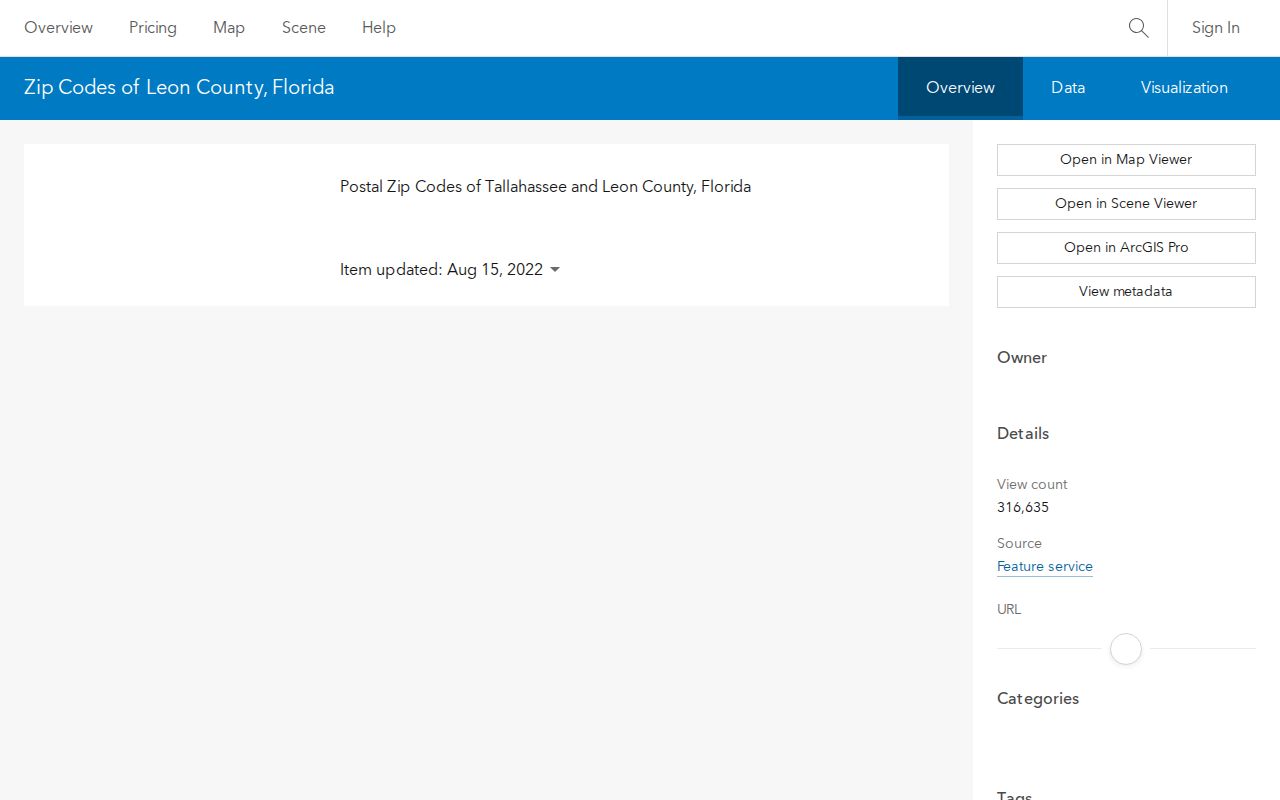
The county survey categories offer a useful check on how the map is used. They list 32301, 32303, 32304, 32305, 32308, 32309, 32310, 32311, 32312, and 32317 as ordinary resident areas, plus a separate PO-BOX category. The small 32306 and 32307 polygons do not appear in that ordinary household list. This difference supports caution, not a guessed institutional assignment.
Small Tallahassee ZIP Areas
The 32306 and 32307 polygons are visibly small in the official layer. Their size distinguishes them from ordinary resident areas used in the county survey categories, but size alone does not prove which institution or station each serves. Confirm the current label with USPS and avoid treating either code as a normal neighborhood boundary.
PO boxes create a different issue. County categories include PO-BOX, while nongeographic box codes are intentionally absent from the polygon layer. A map search can be complete for mapped delivery areas and still omit a valid Tallahassee mailing code. The Tallahassee ZIP code directory uses USPS as the fallback whenever the map has no polygon.
Can a small ZIP identify a resident? No. It narrows postal geography only. A name still needs an official record that lawfully publishes it, and a parcel owner should not be assumed to be the current occupant.
Verify a Tallahassee ZIP Code
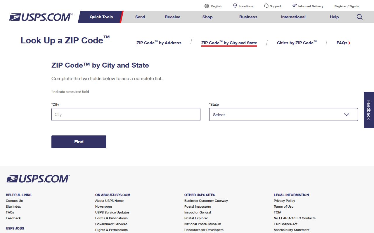
Use the USPS city and state lookup for the current postal answer. A city-and-state result can identify codes associated with Tallahassee, while a full-address check is stronger for one parcel. It is also the required fallback for PO boxes and other nongeographic codes that do not appear as delivery polygons.
| Input | Use in a ZIP search |
|---|---|
| City and state | Find codes USPS associates with Tallahassee, Florida |
| Full street address | Confirm the current five-digit code and ZIP+4 for one delivery point |
| PO box | Check a code that may not have a map polygon |
| ZIP code | Review the postal city names tied to an existing code |
The USPS lookup is shown below. Its answer should be saved with the date because postal routes can change.
Search Tallahassee Residents by ZIP
Neither the inspected Leon Property Appraiser interface nor the Tax Collector grid documented a dedicated ZIP filter. Do not invent one. Use the official ZIP polygon for the area, collect street names from the map, and then move into address-keyed public sources. A lawful voter extract can also be filtered by ZIP, but protected and confidential records remain excluded.
- Confirm the current mailing code through USPS, especially for a PO box or a small special polygon.
- Open the TLCGIS ZIP layer, select the polygon, and note streets or parcel areas within it.
- Search mapped streets in the Leon Property Appraiser or export the Tax Collector address grid.
- For voter research, request the lawful public extract and preserve all protected-record exclusions.
- Verify a final address against the parcel, tax district, and city-limit layer before choosing a custodian.
The state voter self-lookup cannot browse a block or ZIP. Leon election records may instead be requested online, in person, by phone, email, or letter. State monthly extracts include active and inactive registrations through the prior month's end, while omitting confidential, protected, preregistered, and Address Confidentiality Program records. Once the area is narrowed, the Tallahassee street directory provides the street-level workflow.
The Leon Elections public-record request accepts online submissions as well as requests at 2990-1 Apalachee Parkway, by phone at 850-606-8683, by email, or by letter. A statewide extract follows a published disk schedule and standing requests expire each year. Voting history reports which elections a person participated in, never the person's ballot choices.
For parcels, the Leon Property Appraiser search documents Street Number, Unit, Direction, Street Name, Suffix, Post Direction, and Parcel ID. Its own guidance says to omit the suffix and use the street name alone when browsing a whole road. Results can include parcel ID, owner name, location address, property use, tax district, and acreage. This street-based route is the honest substitute when no public ZIP filter is documented.
Tallahassee's 2001 ZIP Change
A TLCGIS Sub-Zip service records that USPS changed some local ZIP boundaries in June 2001. The official source does not identify the affected streets. That makes the date useful but limited. A record from before the change should be searched by its street address and date, not reassigned to a modern polygon without proof.
Historical city directories also predate modern ZIP geography. Translate an old address with directory street guides, plats, cadastral maps, or other dated map evidence. Forcing a 1930 household into a current Tallahassee ZIP code can create a false sense of precision. The postal system and the historical neighborhood record answer different questions.
A tax-roll mailing field presents a related trap. It records where the owner receives correspondence, not necessarily the physical site. A parcel's situs address supplies the physical location, while its legal description carries continuity through address changes. Compare all three before treating a modern postal code as a link to an older resident.
Tallahassee Address Keys Differ
The Leon County Addressing Unit assigns street names and address numbers in both Leon County and Tallahassee. The city and county formed a Uniform Street Naming and Property Numbering System because inconsistent addresses had delayed mail and emergency response. TLCGIS, USPS, the Property Appraiser, School Board, EMS, and Consolidated Dispatch are among the partners.
For an unclear address, contact the Leon County Addressing Unit through DSEM at 850-606-1300 and ask for Addressing, or call Lisa Scott at 850-606-1352. That office resolves naming and numbering. It does not turn a postal code into proof of residence or title.
The joint Tallahassee-Leon County GIS program connects those address keys to public map products. The source image below identifies the official city-county mapping program.
Tallahassee ZIPs Versus City Limits
A Tallahassee postal city does not establish that an address lies within incorporated Tallahassee. Delivery polygons extend into unincorporated Leon County. Check the TLCGIS City Limit layer or the Property Appraiser's Tax District before sending a permit, code, or public-record request. City Growth Management handles city property files, while county DSEM is the relevant route for county jurisdiction.
- ZIP and ZIP+4
- A five-digit delivery area and its four-digit extension for a more specific delivery segment.
- PO-box ZIP
- A postal code serving boxes rather than a mapped residential delivery area.
- Unique ZIP
- A code assigned to one high-volume institution or organization; verify the label with USPS.
- Carrier route
- A mail-delivery path within a ZIP. It is not the same as a neighborhood or city boundary.
Situs, mailing address, and legal description also differ. Situs is the physical property address. The mailing address is where the tax owner receives correspondence. A legal description identifies the land in a deed, while parcel ID keys it in tax and GIS systems. A ZIP code directory should never merge those fields or claim that one proves every occupant.
The jurisdiction check changes where a records request goes. Tallahassee Growth Management is the city route for building and permit files. Leon County DSEM handles the county side. An official postal result can be correct while a city request is still sent to the wrong office. Keep the postal lookup, city-limit layer, parcel tax district, and record date together so the basis for the choice remains clear.
TLCGIS itself grew from a 1990 interlocal agency formed by the City, County, and Property Appraiser. That shared history explains why its catalog can combine ZIP delivery areas with parcels, city limits, tax context, street maps, aerials, zoning, and other land information. Each layer still has its own purpose. Use the ZIP layer for postal geography, the city-limit layer for incorporation, and parcel attributes for the tax record.