
Walk a Tallahassee Street Directory
A useful street-by-street search separates ownership from occupancy. Leon County's tax roll names the owner used for assessment, while the situs field gives the physical site. A mailing address may point elsewhere. The deed index then shows the parties to a recorded transfer. Lawful voter data and a reverse directory can support residence at a given time, but protected voters and people omitted from a printed volume will not appear. Work from the parcel outward, and record the role attached to each name.
- Enter the number and street name in the Leon County Property Appraiser search. Copy the parcel ID, location, owner, mailing address, tax district, and newest sale book and page.
- Open Tallahassee-Leon County Land Information. Search the parcel address or TaxID, zoom to the lot, and click its polygon for jurisdiction and land layers.
- Use the Property Appraiser's street-name-only search and export when the goal is the full road. Omit the suffix if the spelling or road type is uncertain.
- Follow each sale citation into Leon Official Records. Match the legal description before linking a grantor or grantee to the same land.
- For residence evidence, consult a lawful voter extract or a period reverse directory. Mark every result by source and date instead of merging names into one assumed household.
This sequence makes a search by street auditable. It also exposes gaps early. A parcel may have a trust as owner, a tax mailing destination outside Leon County, or no public resident names at all. None of those outcomes proves a property is vacant.
Tallahassee Street Search Fields
The Leon County Property Appraiser search is the most direct address-to-parcel bridge. Its Property Search, Sales Search, map route, and export controls support both one-address research and a whole-road survey. The agency warns that its roll is not a title search and may change after certification.
| Search field | Input | Best use | Local note |
|---|---|---|---|
| Owner name | Text | Find parcels tied to a person or entity | Try surname and trust variants |
| Street number / unit | Number or text | Narrow one site or unit | Unit is optional |
| Direction / post direction | Selector | Distinguish similar roads | Use only when known |
| Street name / suffix | Text and selector | Browse a named street | Omit suffix for the broadest local search |
| Parcel ID | Text | Open one tax parcel | Stable bridge to GIS and tax data |
| Sort / selection | Controls | Order and export results | Select a page or all results |
The result list can show parcel ID, owner, location address, property use, tax district, and acreage. Selected rows can be viewed as a list or map and exported with mailing or property fields. That is more systematic than clicking every polygon when a Tallahassee by-street search covers dozens of lots.
View the Property Appraiser street-search screen before choosing fields.
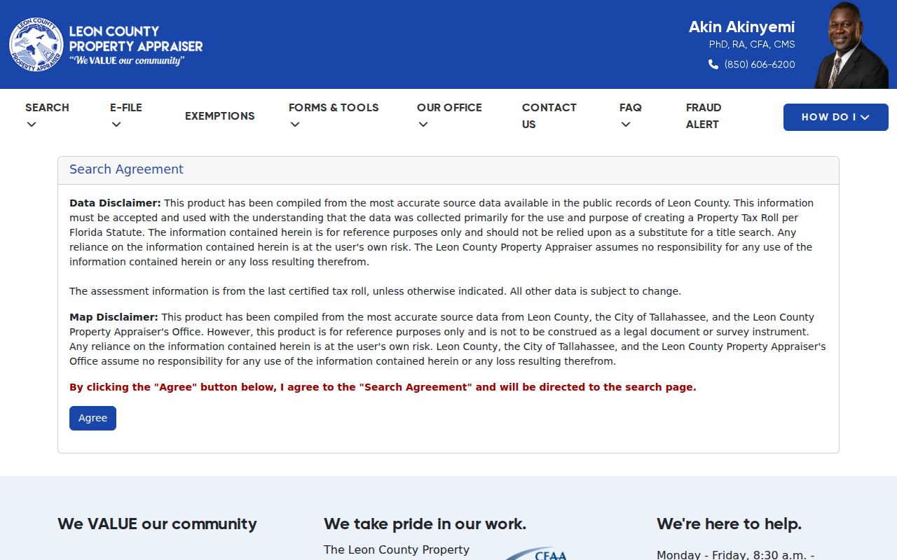
The captured form shows the official route used to turn a Tallahassee address into a parcel result rather than an occupant claim.
Map Tallahassee Streets in TLCGIS
The Tallahassee-Leon County GIS catalog supplies the geographic check. Land Information accepts a parcel address or TaxID, and a map click opens intersecting layers. The Parcels-NAL layer means Name, Address, Location. Other public products include the Tallahassee city limit, aerials, zoning, future land use, flood and natural features, school zones, and permit maps.
GIS answers questions the roll cannot. It can show whether two addresses share a boundary, whether a postal Tallahassee location lies in city or unincorporated county jurisdiction, and which parcel shape goes with a tax key. The map remains a reference, not a survey or legal description. Confirm title in the deed and boundaries in a recorded plat or survey.
Open the joint GIS parcel catalog to choose the relevant land application.
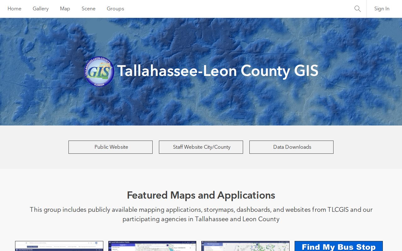
The GIS screen illustrates why the map step belongs between an address result and a deed search: it confirms the parcel and jurisdiction first.
Note: TLCGIS was formed in 1990 by the city, county, and Property Appraiser, which explains the shared local mapping system.
Tallahassee Records Indexed by Street
No single roll holds all people at a Tallahassee address. Each source records a different legal or civic role. The address-record table keeps those roles visible and shows every documented access path.
| Record Set | Keeper | What It Shows | Access |
|---|---|---|---|
| Property and tax roll | Leon Property Appraiser | Tax owner, situs, mailing, parcel, sales and building facts | Free search, export, or custodian request |
| Tax account | Leon Tax Collector | Owner, account, property and mailing address, legal, value, tax due | Free keyword grid and download |
| Parcel map | Tallahassee-Leon GIS | Geometry, adjacency, jurisdiction, zoning and land context | Free ArcGIS apps or GIS request |
| Deeds and liens | Leon County Clerk | Grantor, grantee, instrument, book/page and legal description | 1953 onward online; older microfilm and counter help |
| Voter records | Leon Elections / Florida DOS | Unprotected registered residence and public registration fields | Request by web, counter, phone, email, or letter |
| Permits and code | City Growth Management or County DSEM | Public owner, applicant, contractor, project, inspection or case facts | Address portal or records request by jurisdiction |
The parcel ID ties the roll to maps and local land files. Book and page tie a sale row to the recorded deed. A street label can connect voter or directory entries, yet it is less stable than a legal description. The Tax Collector's “Address” may be the tax-mail destination, while “Property Address” is the situs. Keep both fields in the street directory notes.
Inspect the Leon Tax Collector property grid to see its address and legal fields.
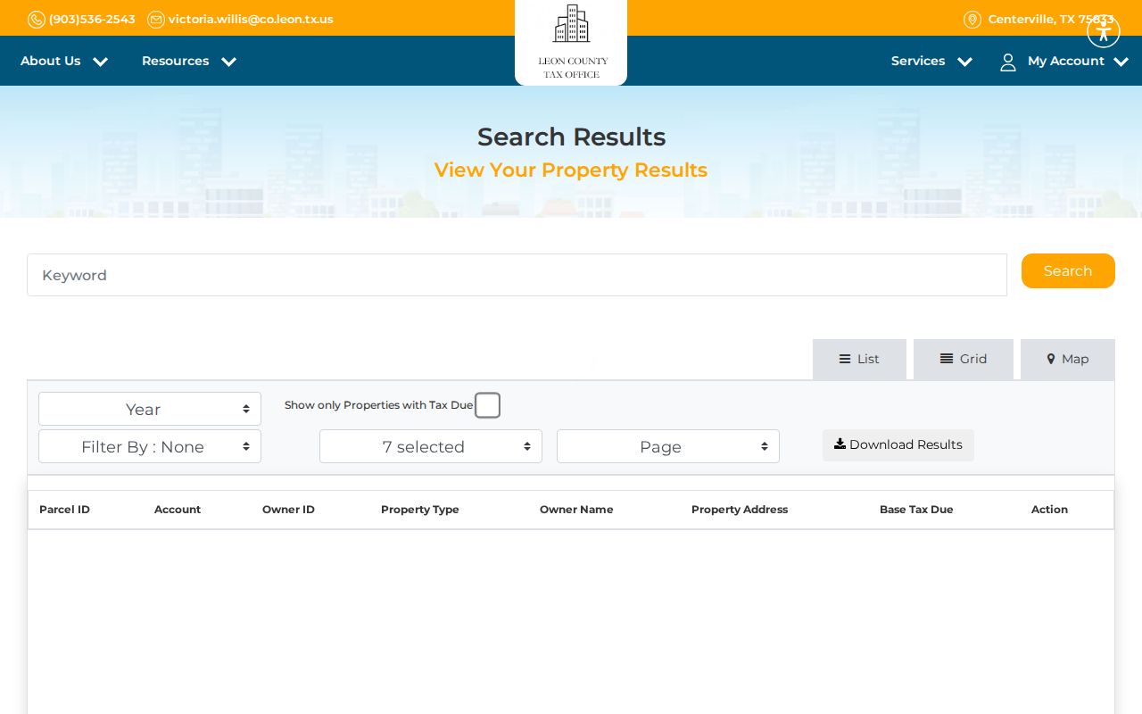
The grid provides a useful second check on owner and parcel data, while its tax-account role still does not establish who occupies the site.
Tallahassee Address Terms That Matter
Several record keys can point to one place without meaning the same thing. Define them before comparing a Tallahassee street directory result with a deed or map.
- Parcel
- A tract represented by a tax ID and mapped boundary for assessment. One postal address can involve more than one parcel.
- Situs address
- The physical location assigned to the property, unlike the owner's mailing address for tax notices.
- Plat
- A recorded map that lays out lots, blocks, streets, and other subdivision facts.
- Criss-cross directory
- A directory arranged by street and number, allowing an address-first search for the listed householder.
A legal description identifies land through lot, block, subdivision, or metes-and-bounds wording. It can preserve continuity when the street label changes. Leon County's Addressing Unit assigns street names and numbers across both Tallahassee and Leon County under a joint uniform system.
Follow Tallahassee Deeds by Address
Use the newest sale book and page from the parcel card to enter the Leon Official Records search. Its fields include party name, instrument number, book/page, document type, recording dates, and legal or subdivision terms. A deed identifies grantors, who convey an interest, and grantees, who receive it. The recorded image may contain execution dates and fuller legal text.
Leon Official Records begin in 1826. Records and images from 1953 forward are online, while earlier books are on microfilm. If an image is restricted on the public screen, use Clerk search help, a counter, or a records request. Eligible images may support eCertify. Copies cost $1 per page, with $2 per document for certification.
The oldest portion of a Tallahassee street directory trail can continue at the State Archives. Leon deed Series L52 spans 1825 through 1942. An owner-labeled 1883 cadastral map and the 1840 GLO survey can help place older descriptions in geographic context. They do not replace the deed.
Note: The 1953 line marks web coverage, not a proven scanning date or a loss of older Leon County books.
Tallahassee Street Permits and Code
Permit and code files may name a public owner, applicant, contractor, project address, inspection, notice, or correction. First verify jurisdiction through the TLCGIS city-limit layer or the Property Appraiser tax district. City addresses route building records to Growth Management and public code services to the city. County parcels route through Leon County DSEM.
The Tallahassee code-enforcement service is an address-based starting point. For an underlying public file, send a focused request to the correct custodian with the address, case or permit number if known, date range, and desired format. Exempt complainant or personal data may be redacted.
View the city code service screen before requesting a case file.
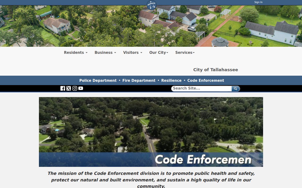
The city interface reinforces the need to establish city jurisdiction before treating an address as a municipal code record.
Tallahassee Streets Need Boundary Checks
A postal city of Tallahassee does not prove that a parcel lies inside the incorporated city. ZIP delivery polygons extend into unincorporated Leon County, while tax, permit, code, utility, and voting systems follow their own boundaries. That mismatch determines which office holds a permit or code file.
The Leon County Addressing Unit assigns names and property numbers for both the city and county. The joint Uniform Street Naming and Property Numbering System arose because inconsistent addresses delayed mail and emergency response. The unit works with GIS, the Property Appraiser, USPS, schools, EMS, and dispatch.
Review the Addressing Unit's official information for local street-number questions.
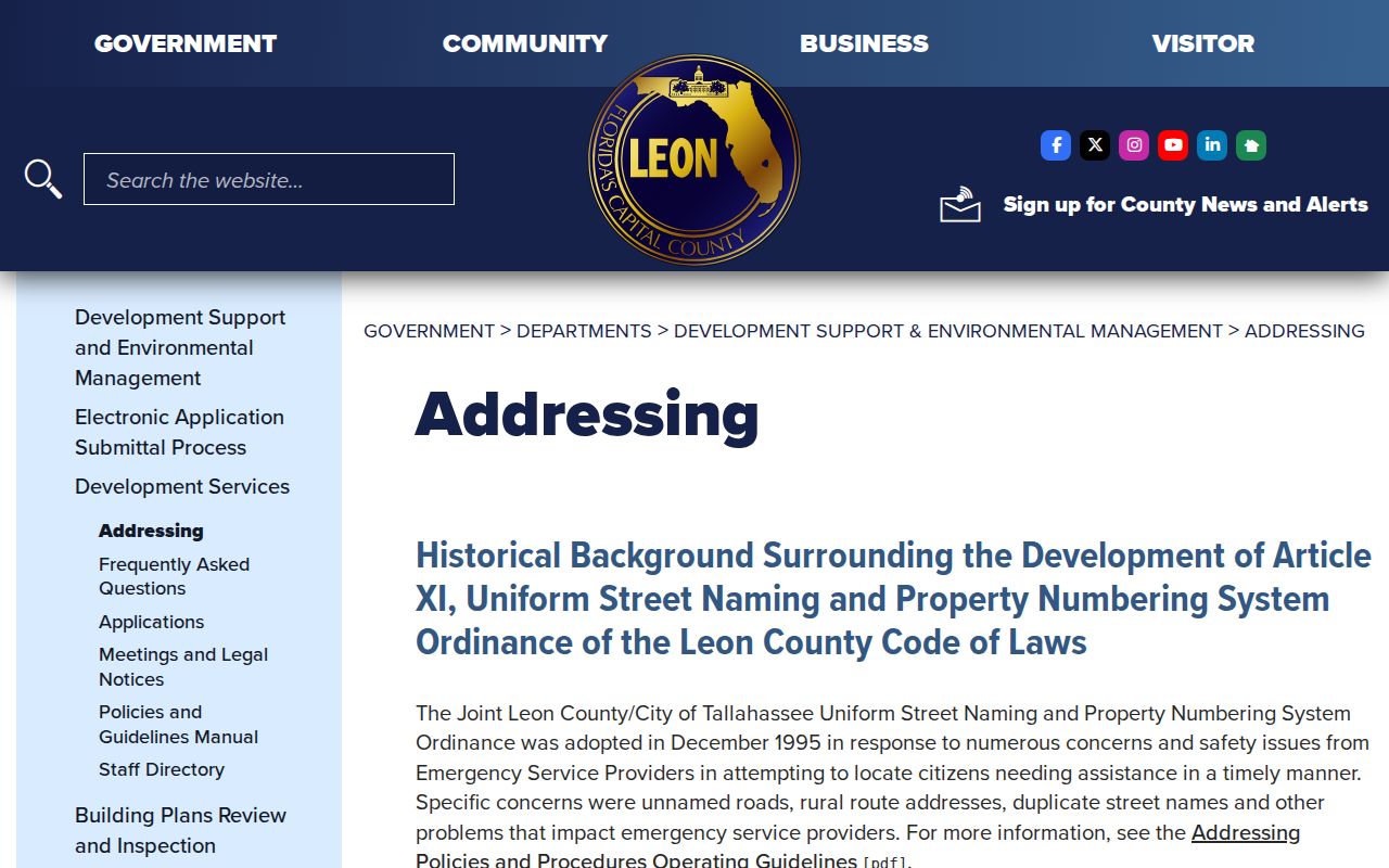
The source confirms a shared city-county system, but it does not give one citywide renumbering year. Old addresses still require directory, map, plat, and legal-description checks.
Tallahassee Residents Beyond Ownership
Florida voter records can add registered residence, precinct, district, party, status, and voting history, but never ballot choices. The public extract excludes preregistered people, Address Confidentiality Program participants, and other protected records. Leon Elections accepts records requests online, in person, by phone, email, or letter. The state self-lookup is designed for one voter to verify a record, not to browse a block.
For an older address, a reverse Polk directory can name the listed householder and may show a phone, vacancy, spouse, or tenure mark. Verified Tallahassee examples exist for 1927, 1930, 1936, and 1940. Full collection details belong in the Tallahassee city directory; here the volumes serve only as dated address evidence.
Neither source is complete. Annual volumes omit people, and protected voter rows are absent by law. A directory entry or voter record should be cited with its date rather than treated as timeless proof.
Limits of Tallahassee Street Records
A Tallahassee street directory cannot produce a complete list of everyone in each home. Property data record owners, not all renters or family members. A homestead flag can be an occupancy clue, but it is not a roster. Utility and delivery customer data cannot be assumed public, and motor-vehicle personal information is restricted by the federal Driver's Privacy Protection Act.
Protected addresses may be suppressed from property, official, court, and voter records under Florida programs and exemptions. The Attorney General's Address Confidentiality Program gives qualifying victims a substitute mailing address. Other statutes protect listed officials, workers, victims, and families after a proper request. A custodian may redact the protected field while releasing the rest.
Lawful use. Use Tallahassee address records only for lawful personal research. Public access never permits stalking, harassment, threats, impersonation, or harm.
When the street directory stops at a protected or missing field, do not try to bypass the restriction. Record the source, date, and limitation. Florida Public Records Law requires a good-faith response and a statutory basis for a redaction, not release of confidential data.